Search contact information in our Directory of City/RWD Contacts.
More about these maps & their accuracy...
Main Maps Page
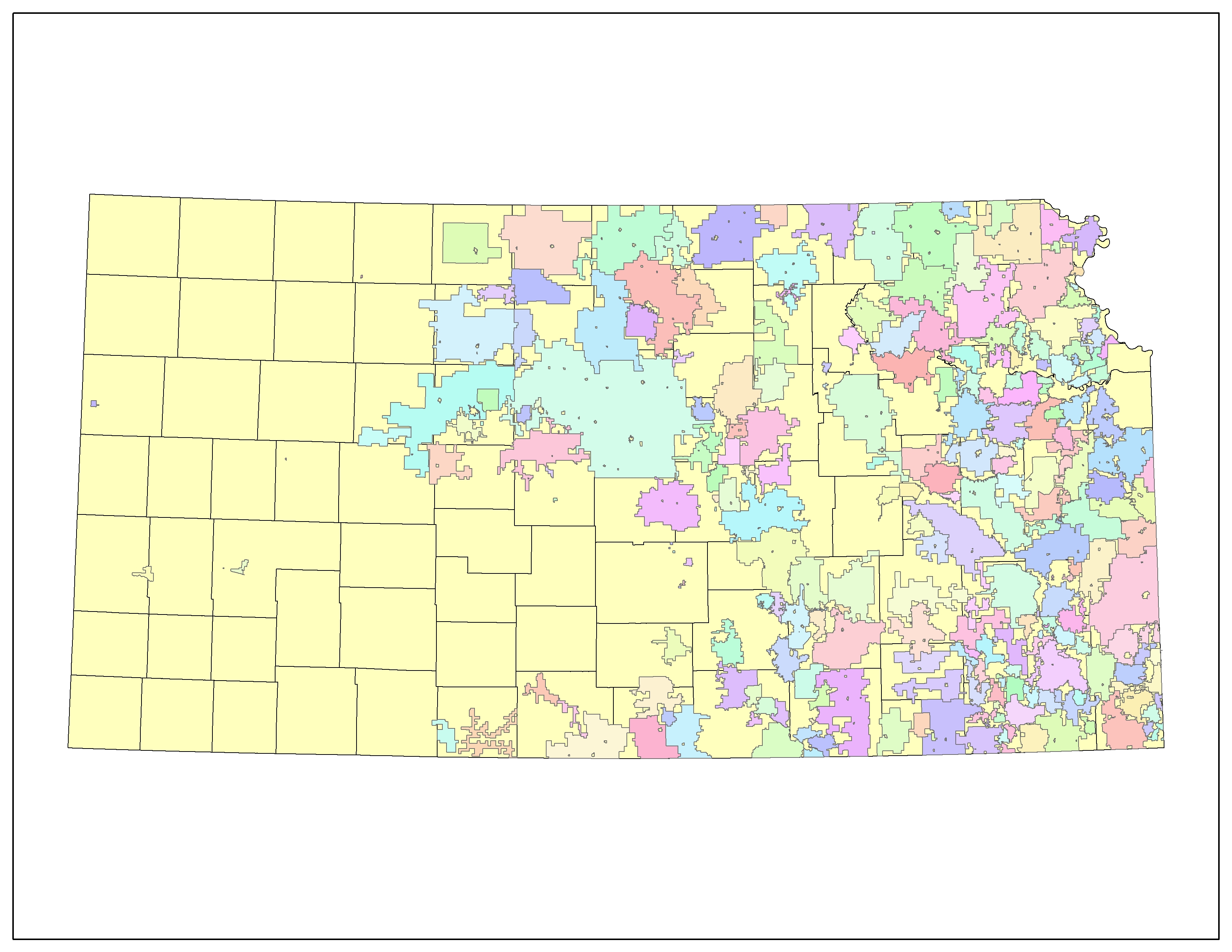
This dataset includes boundaries for most public water supply systems (PWS) in Kansas (525 municipalities, 289 rural water districts and 13 public wholesale water supply districts), and infrastructure data for rural water districts (RWDs) and public wholesale water supply districts (PWWSDs). RWD boundaries delineate the service area (not incorporated area) of the district; municipal boundaries are generally the city limits included in the 2000 U.S. Census Bureau Tiger files, although some municipal boundaries may be the actual water distribution system service area. PWWSD district boundaries are the composite boundaries of the district members. Infrastructure includes the general location of: the main pipelines in the distribution system; the source water wells and surface water intakes; facilities (storage tanks, pump stations and surface water treatment plants); and interconnections between PWS systems for wholesale water distribution. These data were collected by the Kansas Rural Water Association (2004-2006), working directly with the public water supply systems, using printed maps of the 1992 datasets. Updates were hand-drawn on the maps and then heads-up digitized at the Data Access and Support Center. This dataset was developed to support programs at the Kansas Water Office and the Kansas Department of Health and Environment. These data should be used for planning or general reference purposes only.
This map shows the 263 active rural water districts in Kansas as of September 1, 2024. There have been 43 districts that have merged or consolidated with neighbor districts.
(click image to view full size)
